Downloads
The Cartography Department recommends the use of
GIMP to edit XCF files and
Inkscape to edit SVG files. The map thumbnails below are for demonstration purposes only and do not reflect the current state of the map. Additionally, maps other than the political map may not always be up to date.
PLEASE NOTE: Your browser may warn you when downloading files from this website. This is due to the low volume of downloads and should not be cause for concern.
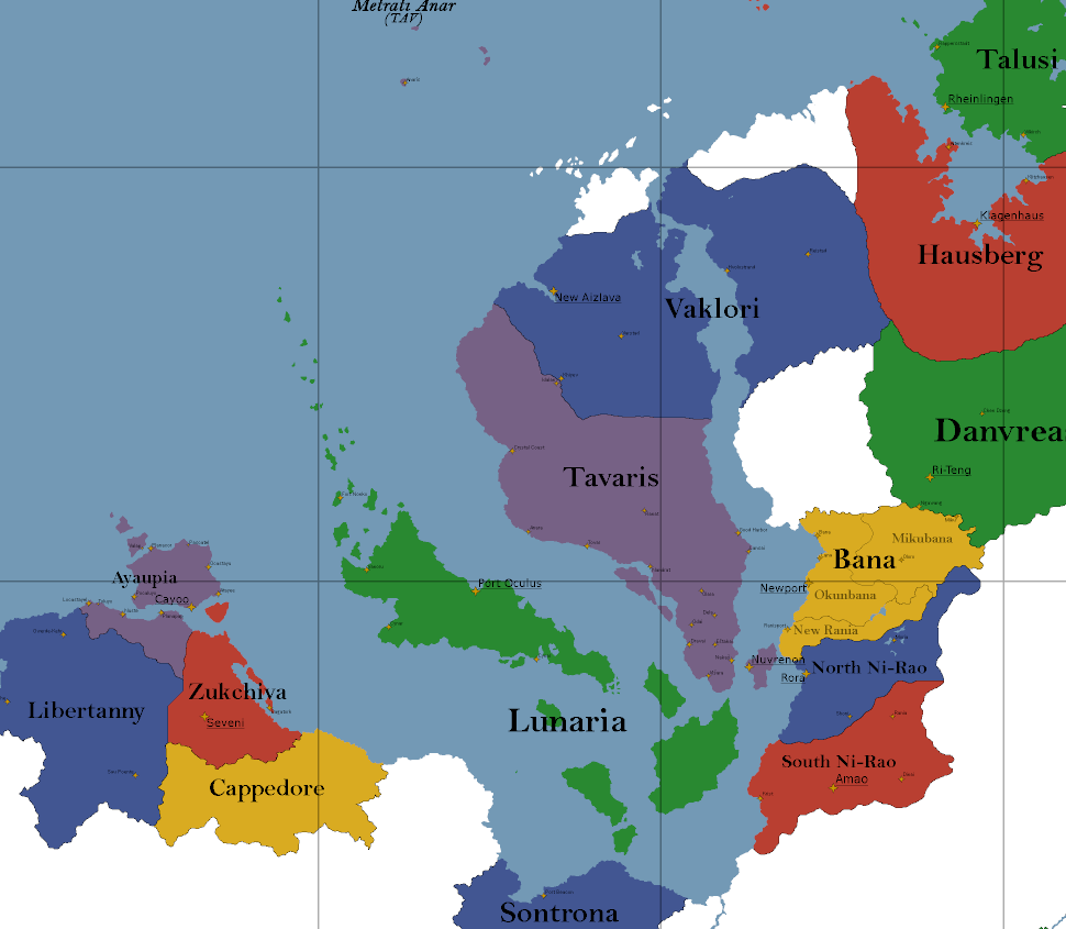
Political (
XCF -
PNG)
Urth RP's main map. Showcases nations, cities, and subdivisions.
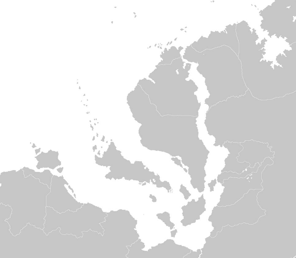
Supplemental (
XCF -
PNG)
Includes one of the styles of wikimap and a blank map.
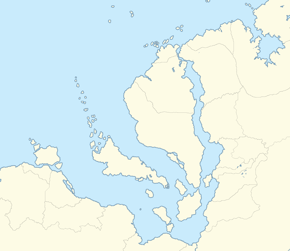
Wiki Locator (
XCF -
PNG)
For locator maps on TEPwiki. The highlighted nation should use
#c22335.
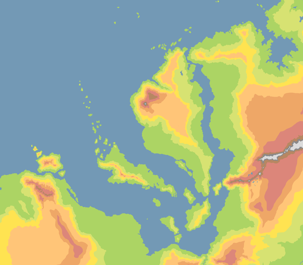
Topography (
PNG)
Topographic map of Urth. Only available as a PNG.
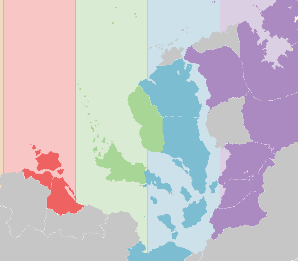
Time Zones (
XCF -
PNG)
Time zones of Urth. Maintained by Jesse (Tuva).
Currents (
SVG -
PNG)
Map of Urth's winds and major water currents. Used to build the climate map.